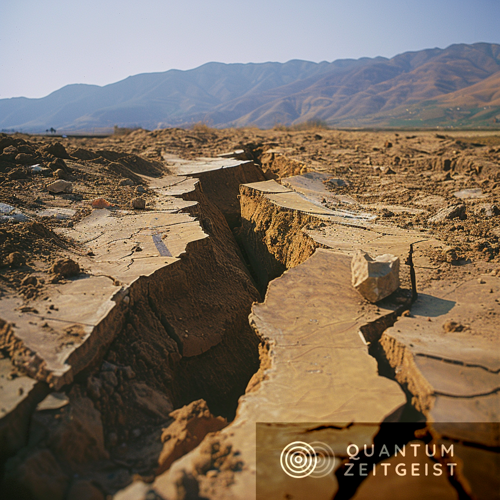
Researchers at the Statewide California Earthquake Center (SCEC) are using the Summit supercomputer at the Department of Energy’s Oak Ridge National Laboratory to study earthquakes. The CyberShake Study 22.12 is the largest set of earthquake simulations ever conducted by SCEC. The study aims to reduce uncertainties in current earthquake-hazard estimates for California. Philip Maechling, CyberShake software developer and the associate director for information technology at the SCEC, said accurate estimates of future earthquake ground motions are essential for understanding seismic hazards. The team used Pegasus, a workflow management system designed by Ewa Deelman’s team at the University of Southern California, to manage the data.
Unraveling Earthquake Mysteries with High-Performance Computing
Researchers at the Statewide California Earthquake Center (SCEC) are employing physics-based computational models on high-performance computing systems at the Department of Energy’s Oak Ridge National Laboratory to gain a deeper understanding of earthquakes. The insights derived from these models will enhance our comprehension of seismic hazards in California.
The CyberShake Study 22.12, a culmination of over a decade of experience, is the most extensive set of earthquake simulations ever conducted by the SCEC. The study was executed on the Summit supercomputer at the Oak Ridge Leadership Computing Facility (OLCF), a Department of Energy Office of Science user facility located at ORNL.
Refining Ground Motion Simulations for Earthquakes
The CyberShake 22.12 study utilized updated models of Earth’s structure and new computational methods to refine broadband (0-20+ Hz) ground motion simulations for earthquakes. The primary objective of the team is to reduce uncertainties in current earthquake-hazard estimates for California. Large earthquakes, although causing the most damage, occur less frequently, making their evolution more challenging to study.
Philip Maechling, a CyberShake software developer and the associate director for information technology at the SCEC, emphasized the importance of accurate estimates of the strength and duration of future earthquake ground motions for understanding seismic hazards. He noted the insufficiency of near-fault ground motion observation for current or future needs, necessitating reliance on historical observational data.
CyberShake: A Tool for Seismic Hazard Modeling
CyberShake generates seismic hazard models by incorporating a vast array of existing seismic data. Using the probabilistic seismic hazard analysis method, CyberShake estimates the intense ground motions that a specific site is likely to experience in the future. These estimates are incorporated into regional hazard maps and used to inform scientists, civil engineers, and the public of earthquake risks.
To calculate the CyberShake 22.12 hazard model, Maechling’s team used Pegasus, a workflow management system designed by research director Ewa Deelman and her team at the University of Southern California, or USC, Information Sciences Institute. The team ran a diverse collection of jobs on Summit over 10 weeks, with Pegasus automatically managing 2.5 petabytes of data, including an automated transfer of 70 terabytes to USC’s archival storage.
Enhancing Earthquake Rupture Modeling
The team updated the codes for CyberShake 22.12 to more accurately model earthquake ruptures and to include higher-frequency ground motions. They simulated broadband ground motions for 620,000 earthquakes at 335 locations in Southern California. CyberShake uses detailed information about Earth’s structure from fault models and seismic velocity models with physics-based computational modeling to produce information about where strong shaking is most likely to occur. This method has proven to be more accurate than previous methods that were based on observation, which were simpler, less computationally expensive, and less accurate.
The Impact of CyberShake on Public Safety
Since the project’s inception, the team has recognized the value of collaborating across multiple scientific disciplines, including geophysics, civil engineering, and computer science. CyberShake integrates science and technology from these fields by adapting the best available data into physics-based models of the Earth’s active crust. CyberShake data is public and provided to other researchers and end-users in various formats to suit their needs.
Previous results from CyberShake have proven beneficial to the public. For instance, the U.S. Geological Survey used data from 2020 simulations to inform the National Earthquake Hazards Reduction Program in 2023. Additionally, the Building Seismic Safety Council and the American Society of Civil Engineers used CyberShake results in their updated building code recommendations for Southern California in 2020.
While it’s too early to determine the impact of CyberShake 22.12, Maechling anticipates similar developments from this most recent study. The CyberShake collaboration is actively working to develop a new seismic hazard model that uses a consistent methodology for the state of California.
External Link: Click Here For More

